

 New Delhi: – An Indian Navigation App is being developed to take on the internationally renowned navigations facilities like Google maps and Google Earth. ISRO has signed an agreement with MapmyIndia, providing services in navigation technology. MapmyIndia published the information regarding this. ISRO will be providing satellite images and observations related data. Whereas MapmyIndia will make digital services available. Therefore, India will not depend on foreign companies for navigation services, maps and geographic data.

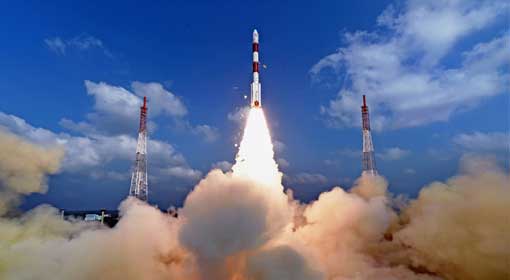
Currently, India has to depend on services like Google maps and Google Earth. But now indigenous navigation services can be made available. ISRO has already built its navigation system, using the network of the ‘Indian Regional Navigation Satellite System’ (IRNAS). Prime Minister Modi named this Navik. Using the data from Navik, ISRO developed a geo-portal named Bhuvan. Now ISRO has joined hands with MapmyIndia to make the services available to the common people. The services offered through this app being developed will be more impressive than Google maps. Indian borders will be demarcated properly taking sovereignty and integrity into account. The border areas will be shown as per guidelines of the union government. All the towns and cities along with roads and railway routes will be shown on the map. Importantly, this will be a free service.

Related posts:
 ISRO’s Historical feat – Launches 104 satellites in one go
 ISRO collaborates with private sector to manufacture satellite
 29 satellites including the EMISAT, the eyes and ears of India in the space
 NASA and ISRO cooperation will continue even after Mission Shakti
 India will acquire an essential place in the Global Space Economy, ISRO Chief Sivan expresses confidence
 First indigenous private rocket engine test successful
 Foreign firms can build satellite launchpads, ground stations in India: ISRO Chief K. Sivan
 First private satellites tested in ISRO ‘Satellite Centre’