

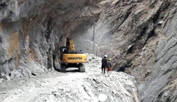
New Delhi: Nepal is building a road parallel to the Indian border. The government of Nepal has entrusted the responsibility of making this 130-kilometre long road from Dharchula to Tinker, to the military. The residents of the villages in the most inaccessible parts, which are at high altitudes on the Indo-Nepal border, use Indian roads for transportation. Nepal claimed that the road was being built so that these people do not need to depend on Indian roads for their movement. The officer also clarified that the way was being constructed entirely within the Nepalese border. Nepal has dug up the border dispute showing some Indian territories as a part of Nepal in the new map published recently. The new road being developed is looked at from this point of view.


Nepal sanctioned this road in 2008. But the contractor absconded after finishing 45 kilometres of the road. It is claimed that the reason for him to abscond was steep terrain and unpredictable weather in the Himalayan sector. These cause immense losses to the contractors. Now the government has instructed the military to complete the remaining 80 kilometres of the road. The Nepalese government reasoned that the track route connected to this road would stop the dependence of the residents of Tinker and Changru villages, near the Indian border, on the Indian roads.
But the Indian, Nepalese and Chinese borders meet at the Tinker pass in the Tinker valley. It is apparent that increasing trade with China through this route is the main objective of this road. At the same time, analysts are claiming that Nepal is trying to fulfil the Chinese intention of pressurising India by building a solid road till Tinker pass.
Also, the road being developed by the Nepalese military is being viewed together with the border dispute, recently initiated by Nepal. Nepal government approved the new plan showing Kalapani and Lipulekh as Nepalese territories. Nepal also opposed the Kailas-Mansarovar link road built by India connecting the Lipulekh valley. Nepal has claimed that this road has been built on its land.
The border dispute between India and Nepal over Kalapani and Lipulekh is not new. But the analysts are claiming that the objection raised by Nepal on the Indian Kailas-Mansarovar Link Road, built on an already existent path and the map published thereafter, is a result of Chinese instigation. Chief of Army Staff General MM Naravane had indicated this. This had not gone down well with the Nepalese government.
Nepal government objected to the statement saying that the Indian Army Chief should not have made such a statement. On Monday, Nepalese Foreign Minister Ishwar Pokhrel said that the statement made by the Indian Army Chief is an insult to history. This clearly shows that the Nepalese rulers have been agitated with the showing of a mirror by the Indian Army Chief without naming China.
But the pro-Chinese policies of the communist government led by KP Oli Sharma are no secret. Analysts are pointing out that the fact that Nepal has dug up the border dispute at the same time of increased tension between India and China, following the Chinese infiltration attempts on the Ladakh border, also says a lot.
The Kailas-Mansarovar Link Road is very close to the location where the Indian, Nepalese and Chinese borders meet. This road will be strategically crucial for India. China is cut up because, with this road, India can reach the military and their supplies to this region close to the Chinese border in a much shorter time. Analysts are saying that because of this, China is instigating Nepal to dig up the old border dispute. The analysts have raised a query ‘Why is Nepal raising objections that the road passes through Nepalese territory after finishing the road? Why did it not raise them while the work was being carried out?’

Related posts:
 Bomb blast at India-developed Hydro-electric project site in Nepal; PM Narendra Modi was to inaugurate it
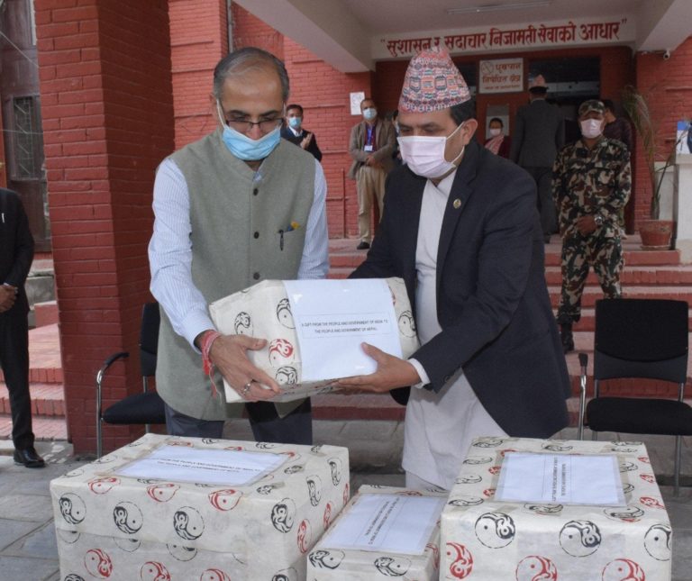 India sends medicines and other medical supplies to Bangladesh, Nepal and Sri Lanka
 Nepal demurs the Kailash-Mansarovar Link Road; summons the Indian Envoy
 Nepal should win Indian confidence for talks: India responds to Nepalese proposal
 Nepal claims right over no-man’s land in Uttarakhand’s Champawat
 Nepal Prime Minister changes his tone after the visit of RAW chief
 India-Nepal dispute can be resolved through talks: Nepal PM