

New Delhi/Kathmandu: – The bill granting official status to the controversial map declaring certain Indian territory as a part of Nepal, has been passed in the Nepal parliament. On the one hand, Nepal is desperately trying to hold talks with India and on the other hand, Nepal has passed this bill. This is a political map and the Indian analysts are claiming that the KP Oli Sharma government in Nepal is dancing to the tune of the Chinese Communist rulers. On Wednesday, Nepal appointed a committee with 9 members, to collect historical evidence in support of the claims, made in the map. The Nepalese cabinet of ministers has already cleared the controversial map. The analysts are questioning the decision taken by the cabinet of ministers when there are no historic proofs in support of the controversial map.


Nepal has shown nearly 335 kilometres of Indian territory including Lipulekh, Kalapani and Limpiadhura as a part of Nepal, in the new map. The analysts are pointing out that there is Chinese incitement behind this. Indian Chief of Army Staff, General MM Naravane also had made a statement in this regard and which had badly offended the communist Nepal government. As per the analysts Prime Minister KP Oil Sharma, heading the Nepalese pro-Chinese government, is raking up the border issue to achieve his political objectives.
Constitutional amendment bill regarding the new national map was presented in the Nepal parliament. The Nepal Congress and socialist party supported the bill, clearing the path for the passage of the bill. Both these parties had asked for some time in the last month. Some of the Congress and socialist leaders are opposed to this new plan. As per these leaders, the Nepalese population also does not want any feuds with India. The analysts are keeping a close watch on these developments in Nepal.
The Nepal cabinet of ministers cleared this plan in the last month. At that time, dispute had started in Ladakh, between India and China. Therefore, questions were automatically raised over the intentions of the pro-Chinese Nepal government, regarding the publication of the map. Moreover, Nepal appointed a committee to collect proofs to support the map. Analysts are asking that if the Nepal government did not have the proofs, how did it go ahead and prepare this map and on what basis the cabinet of ministers cleared this map.
On Friday, Nepalese police resorted to firing on the Indo-Nepal border in Bihar. An Indian farmer was killed in the firing and four others were injured. These farmers claimed that on Saturday, the Nepal police dragged them into Nepal from the Indian territory. Therefore, this incident also is being linked to the new Nepal map.
Meanwhile, the Uttarakhand government has decided to distribute satellite phones to some villages in Pithoragarh district near the Nepal border. A part of Pithoragarh has been shown as a Nepalese territory in the new map. Against this background, the border areas will be given satellite phones. Sarpanches of 49 villages will be given these satellite phones. Till now, sarpanches from 18 villages including Darma, Vyas, Chaudas Ghati have been given satellite phones.
This being a treacherous terrain, the towers on BSNL and other mobile companies have not reached this region. Therefore, villagers had started using SIM cards of Nepal Telecom. Taking this problem into account, the decision to distribute satellite phones to these Sarpanches has been taken. But its is clear that the main reason for this is the border dispute raked up by Nepal.
This Nepalese stand has adversely affected the relations between India and Nepal. Indo-Nepal is an open border and there was harmony among people from both sides, of the border. But now the situation is apparently changing. The villages where the satellite phones are being issued are also close
to the Chinese border. Therefore, India has delivered a warning to both China and Nepal through his action.

Related posts:
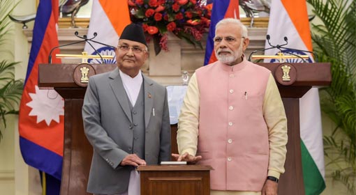 Nepal Prime Minister Oli on a 3-day India visit; India-Nepal to build new rail route between Raxaul, Kathmandu
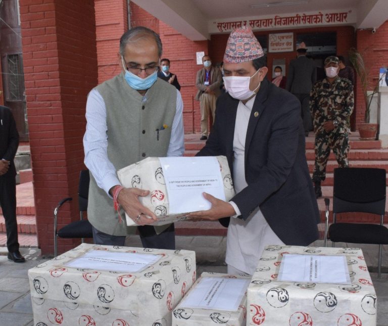 India sends medicines and other medical supplies to Bangladesh, Nepal and Sri Lanka
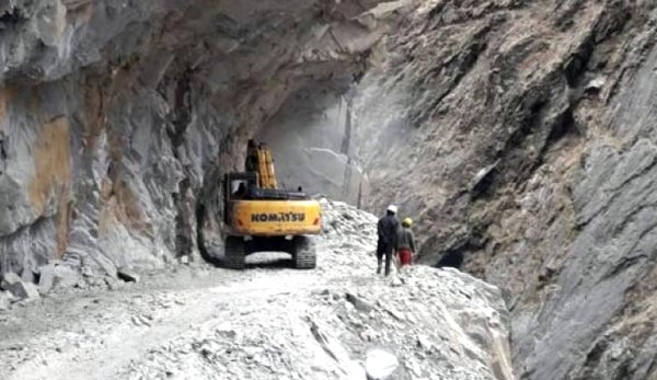 Nepal demurs the Kailash-Mansarovar Link Road; summons the Indian Envoy
 India reprimands Nepal over the new map
 Nepal proposes talks with India over the border dispute
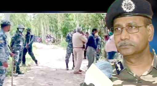 Nepal Police firing at the border in Bihar kills one and injures four Indians